Rainbow Beach sits at a hinge in the coastline. To the south runs the Cooloola sand mass, a landscape of high dunes, perched lakes and rainforest that stretches about 70 kilometres to Noosa. To the north the coast narrows into the long sand spit of Inskip Point, and beyond it lies K’gari. To the west the calm waters of Tin Can Bay and the Great Sandy Strait offer a completely different coast of mangroves, sandbanks and dolphins.
This hub gathers our guides to each of these places. Use the map to see where they are, then read the guide for access, walks, safety and history.
Rainbow Beach
Small coastal town, gazetted in 1969, with cafés, accommodation, the surf club and the main beach.
Read the guide →- Town
- National park / nature
- Beach feature
- Dive site
In and around town
Rainbow Beach town and history: how a mineral sands mining camp became a beach town, gazetted in 1969, and what remains of that history today.
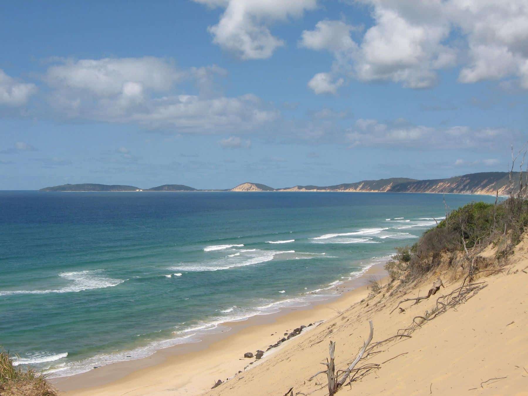
The coloured sands: the cliffs that gave the town its name. Walk two kilometres south from the surf club at low tide to see bands of red, ochre and cream rising as high as 80 metres.
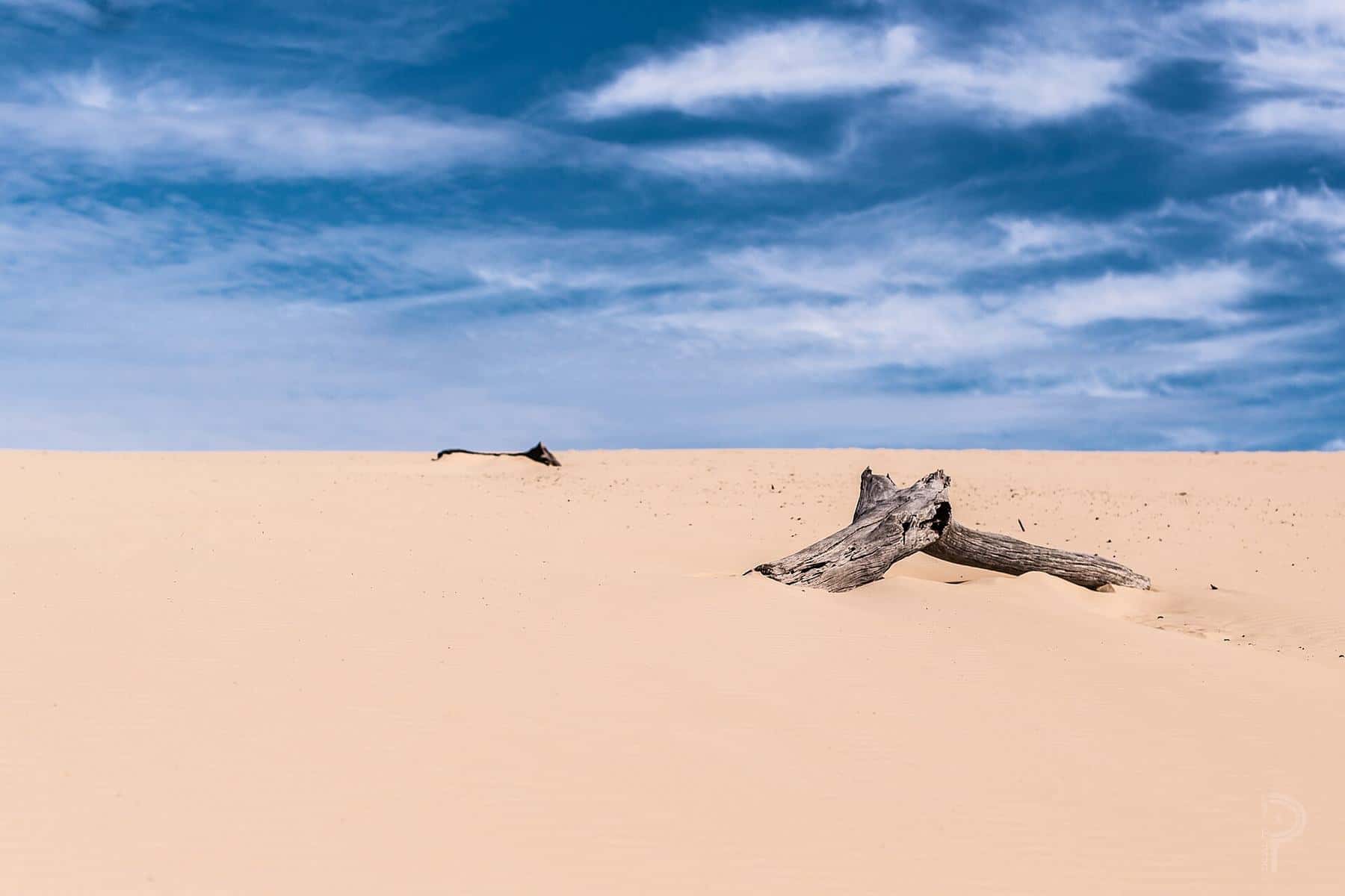
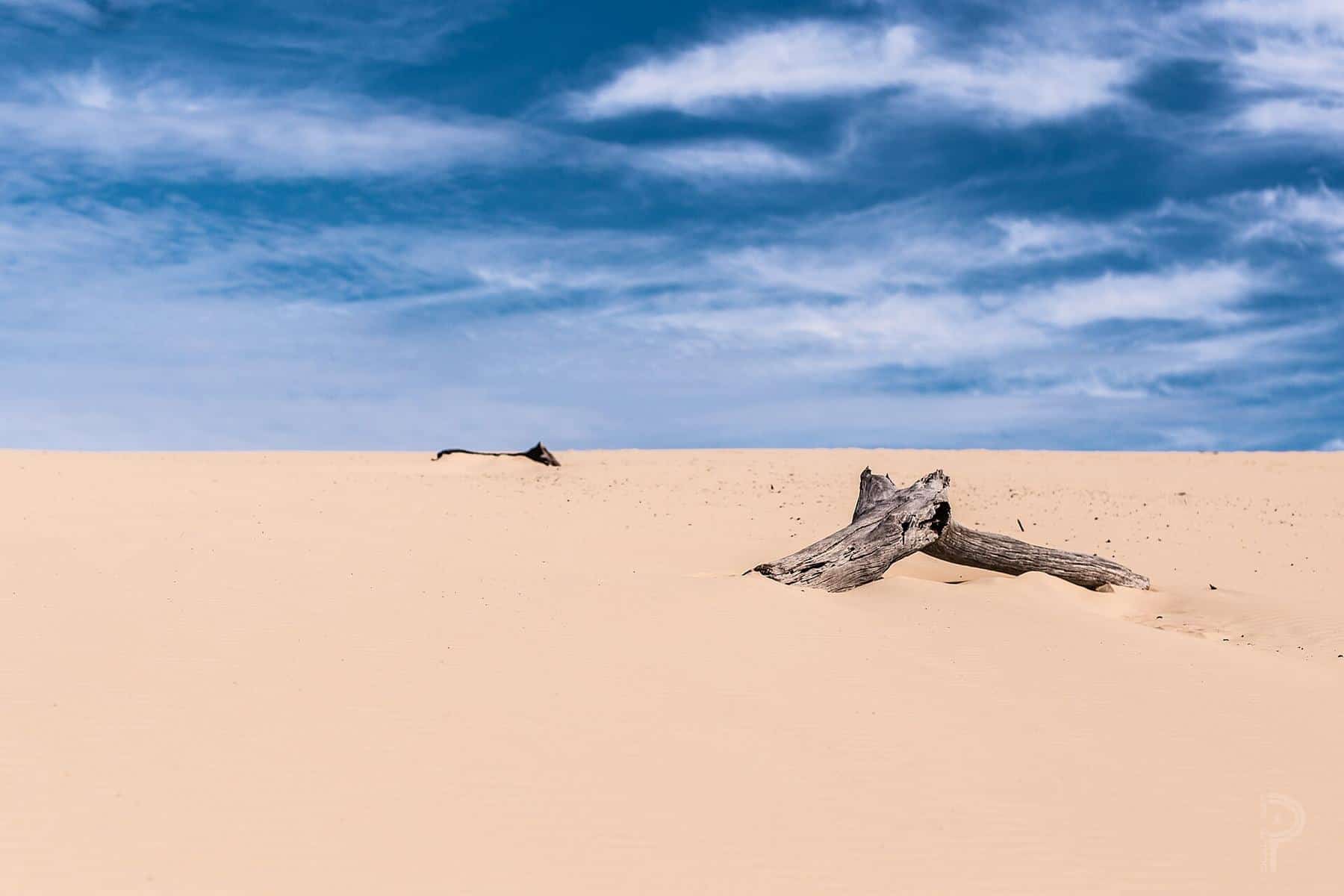
Carlo Sandblow: a short forest walk from the edge of town leads to this vast open dune, named after a sailor on Captain Cook’s 1770 voyage. It is the best sunset spot on the coast.
South along the Cooloola Coast
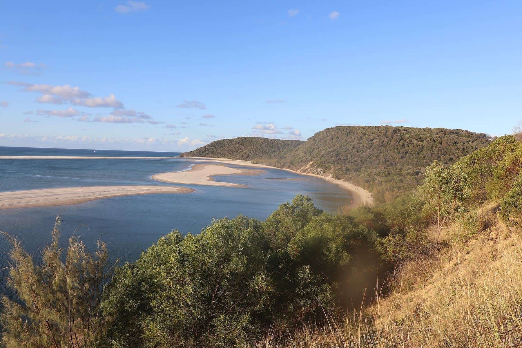
Double Island Point: a headland about 30 kilometres south of town by beach, with a lighthouse first lit on 11 September 1884, a sheltered lagoon and a famous right-hand point break.
Cooloola, Lake Poona and Freshwater: the national park that surrounds the town, with rainforest on ancient dunes, tea-coloured perched lakes, forest camping and the 102-kilometre Cooloola Great Walk.
Beach driving and Mudlo Rocks: practical advice on permits, tides and the rocky headlands that make the drive south a test for even experienced drivers.
North to Inskip and K’gari
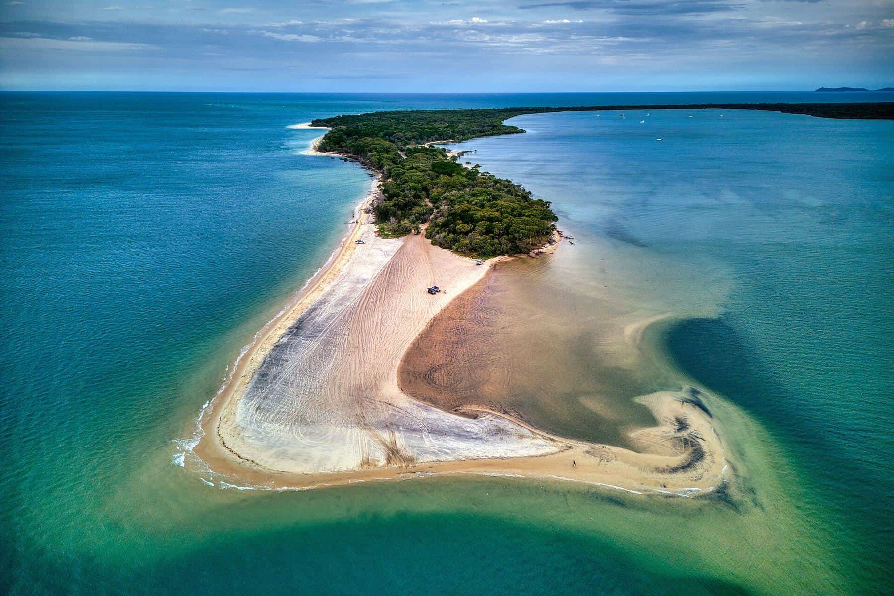
Inskip Point: a sand spit with beach camping among the casuarinas and the vehicle barge to K’gari. It is also an area where sudden sand collapses have occurred, so read the safety notes.
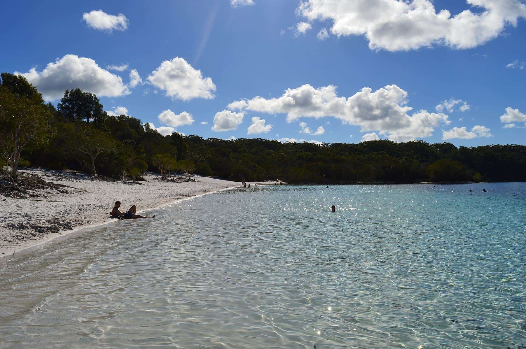
K’gari (formerly Fraser Island): the world’s largest sand island, World Heritage-listed since 1992 and officially restored to its Butchulla name in 2023. It is home to freshwater lakes, rainforest growing in sand, 75 Mile Beach and the wreck of the SS Maheno.
West to the Great Sandy Strait
Tin Can Bay: a relaxed fishing and boating town on a sheltered inlet, best known for the wild Australian humpback dolphins that visit its foreshore in the mornings.
How the places fit together
If you have a day, walk to Carlo Sandblow at sunrise, spend the morning on the beach and visit the coloured sands at low tide, then drive to Tin Can Bay for the afternoon. With two days, add a guided 4WD tour or your own beach drive to Double Island Point. With three or more, cross to K’gari or camp at Inskip Point.
Cooloola Coast bucket list
0 of 8 done
Ticks are saved in this browser only.
Respecting Country
The Cooloola Coast is Kabi Kabi Country, and K’gari is the Country of the Butchulla people. Many places here, including lakes, dunes and headlands, are culturally significant. Stay on marked tracks, leave everything as you found it, and take the chance to learn from First Nations-guided experiences where they are offered.
Before you go
Conditions on this coast change quickly. Beaches erode, tracks close after storms and fire, and parts of Inskip Point have been closed after sand collapses. Always check QPWS park alerts and buy any vehicle access or camping permits before you set out. Our travel guide covers getting there, weather and where to stay.
Guides in this section
Rainbow Beach
The coloured sands of Rainbow Beach
How to see Rainbow Beach’s famous coloured sand cliffs: where they are, the best tide, how the colours formed, the Kabi Kabi legend and safety tips.
Read · 4 min
Rainbow Beach
Carlo Sandblow
How to visit Carlo Sandblow at Rainbow Beach: the short walk, best sunset and sunrise times, how it formed, the Captain Cook connection, paragliding and safety.
Read · 4 min
Cooloola Coast
Double Island Point
A guide to Double Island Point near Rainbow Beach: the 1884 lighthouse walk, the lagoon, surfing, whale watching, 4WD access, tides and permits.
Read · 3 min
National park
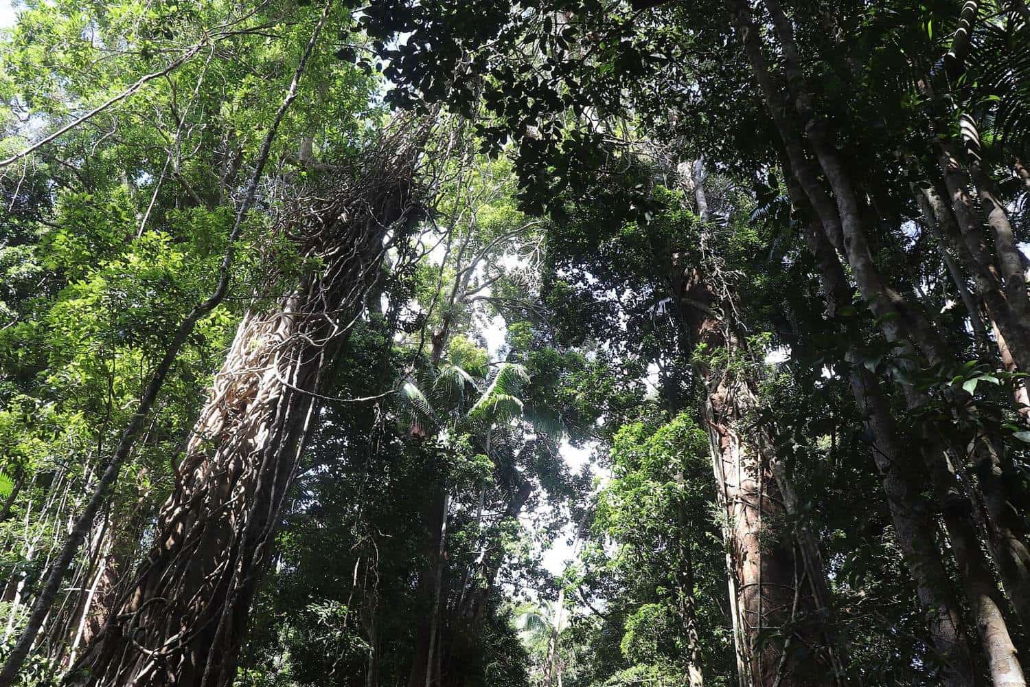
Cooloola, Lake Poona and Freshwater
Explore the Cooloola Recreation Area of Great Sandy National Park near Rainbow Beach: Lake Poona, Freshwater, Teewah Beach and the 102 km Cooloola Great Walk.
Read · 4 min
Cooloola Coast
Inskip Point
A guide to Inskip Point near Rainbow Beach: beach camping, the vehicle barge to K’gari, permits, dingo safety, fishing, birdlife and the 2015 sinkhole.
Read · 4 min
K’gari
K’gari (formerly Fraser Island) from Rainbow Beach
How to visit K’gari from Rainbow Beach via the Inskip Point barge: permits, driving, Lake McKenzie (Boorangoora), 75 Mile Beach, the Maheno wreck and dingo safety.
Read · 4 min
Great Sandy Strait
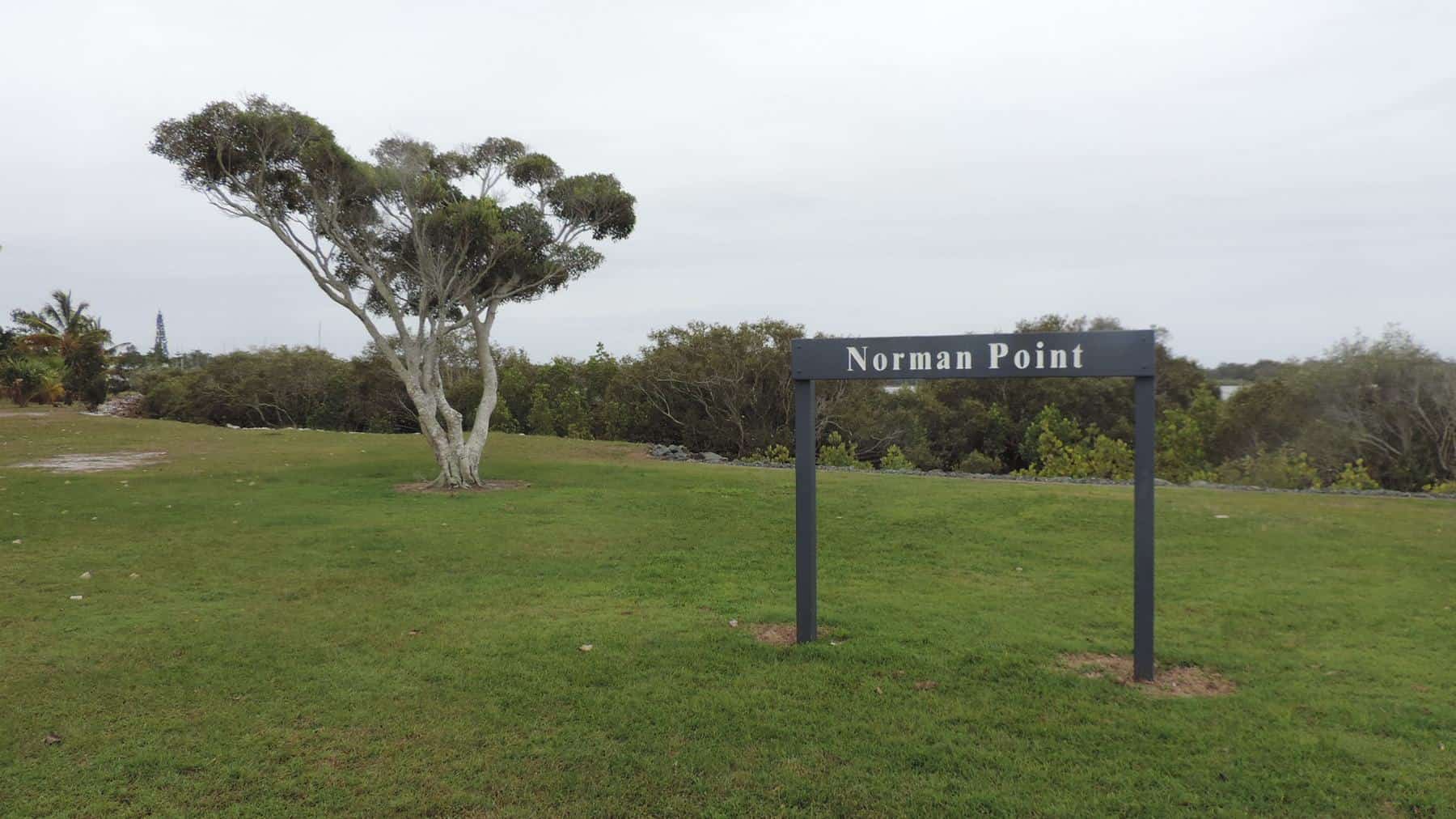
Tin Can Bay and its dolphins
A guide to Tin Can Bay near Rainbow Beach: the wild Australian humpback dolphins and their story, Norman Point, boating, fishing and walks on Tin Can Inlet.
Read · 4 min
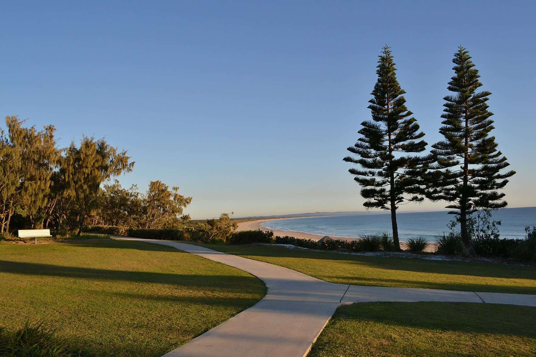
Rainbow Beach
Rainbow Beach town and history
The story of Rainbow Beach, Queensland: Kabi Kabi Country, Cook’s 1770 voyage, mineral sand mining from 1965 to 1976, the 1969 township and the town today.
Read · 4 min
Frequently asked questions
What is there to see near Rainbow Beach?
The main sights are the coloured sand cliffs, Carlo Sandblow, Double Island Point and its lighthouse, Inskip Point, Lake Poona and the Cooloola section of Great Sandy National Park, Tin Can Bay and K’gari across the strait.
Which places can I reach without a 4WD?
The town, the main beach, Carlo Sandblow, the Bymien picnic area for Lake Poona, Tin Can Bay and the Rainbow Beach Road side of Cooloola are all reachable in a conventional car. Double Island Point, the beach south to Noosa, Inskip Point camping zones and K’gari need a 4WD and permits.
Is Rainbow Beach part of the Great Sandy National Park?
The town is not, but it is almost surrounded by the Cooloola Recreation Area of Great Sandy National Park, which protects most of the coast between Noosa North Shore and Inskip Point.
Sources and further reading
Facts on this page were checked against these primary and official sources. Conditions change — confirm before you travel or buy.
- Cooloola Recreation Area, Great Sandy National Park — Queensland Parks and Wildlife Service
- K’gari, Great Sandy National Park — Queensland Parks and Wildlife Service
- Double Island Point Lightstation (Queensland Heritage Register 601722) — Queensland Government