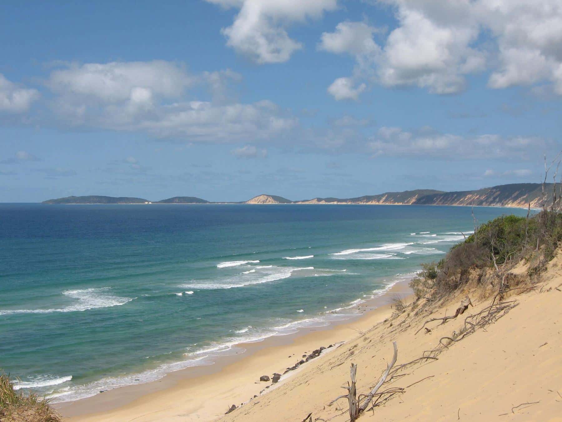
Rainbow Beach takes its name from the cliffs that tower over the beach south of town. Seen in the low morning or late afternoon sun, they glow in stripes of white, cream, gold, orange, red and brown, a natural artwork that has been millions of years in the making and is still changing with every storm.
Up to 72
Colours
According to local visitor information
~80 m
Cliff height
At the highest points
~2 km
From the surf club
Walk south at low tide
Where to see them
The coloured sands run for kilometres along the coast between Rainbow Beach and Double Island Point. The most accessible section begins about two kilometres south of the Rainbow Beach Surf Life Saving Club. From the main beach access in town, walk south along the sand past the rocks and small caves at the base of the bluff. Freshwater seeps out of the dunes here and trickles across the beach.
Beyond the town beaches the cliffs grow taller and more colourful. Some of the most dramatic sections lie further south towards Mudlo Rocks and on the beach route to Double Island Point, which most people see from a 4WD or on a tour.
You can also see the sands from above. Carlo Sandblow, reached by a short walk from the edge of town, looks out over the top of the coloured cliffs to Double Island Point. See our Carlo Sandblow guide.
Timing your visit
Go at low tide. The beach below the cliffs is narrow, and at high tide waves can reach the base of the bluff. Check the tide tables from Maritime Safety Queensland and plan to set off an hour or two before low tide so you have plenty of time to return.
Go early or late. The colours are richest when the sun is low. Morning light hits the cliffs face-on, while late afternoon softens the reds and golds.
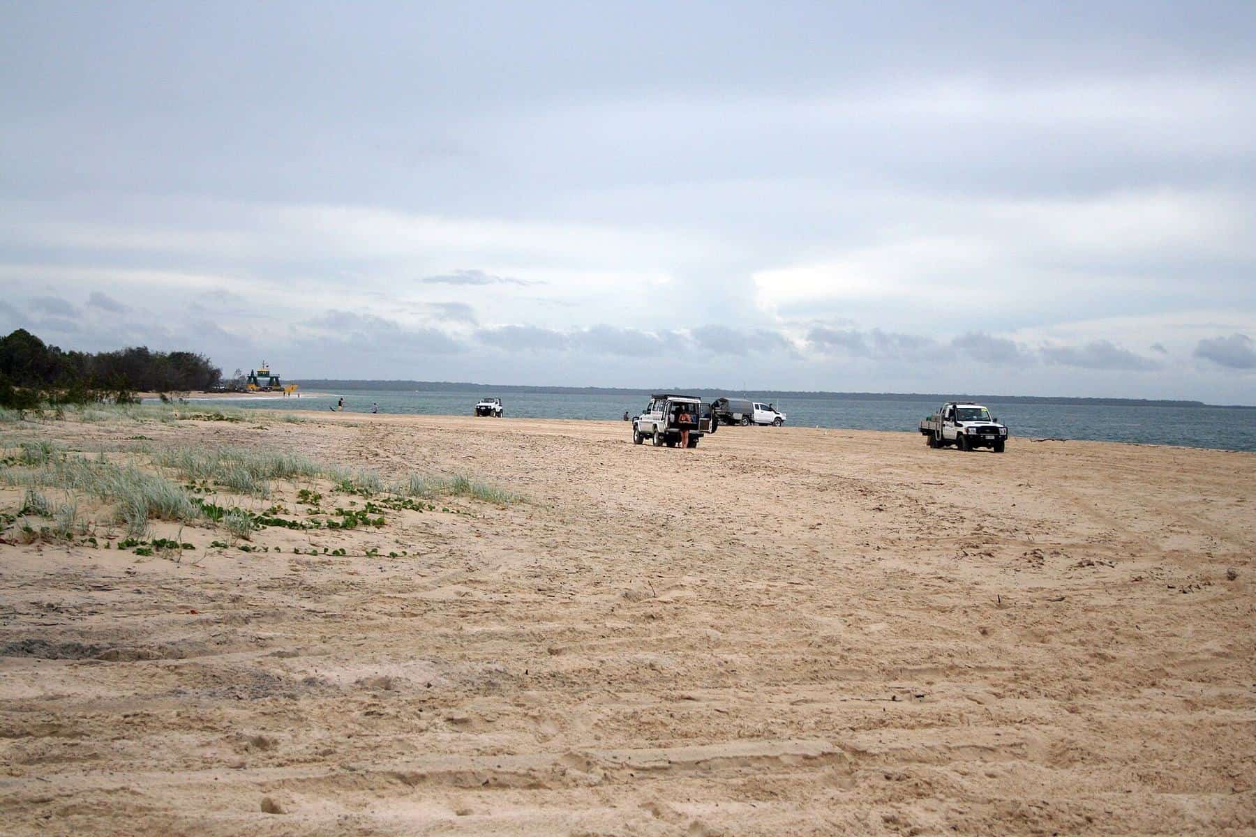
Watch for vehicles. The beach south of town is a gazetted road used by 4WDs, particularly around low tide. Walk on the upper beach, keep children close and be aware that drivers may not hear you over the surf.
How the colours formed
The Cooloola sand mass is made of quartz sand blown inland from the beach in a series of dune-building episodes over hundreds of thousands of years. As rain soaks through the dunes it carries iron and organic compounds downward. Iron oxides, the same minerals that make rust, stain the sand in yellows, oranges and reds. Tannins and other organic material leached from the vegetation add browns and darker tones, and in places they cement the sand into a soft rock sometimes called coffee rock. Heavy minerals such as ilmenite, rutile and zircon, the minerals that were once mined near the town, add dark streaks.
Erosion by waves and wind continually cuts back the cliff face, exposing fresh bands of colour. Visitor information notes that the sands are thought to have been forming since the last ice age, although the dunes themselves are far older.
The Kabi Kabi story
The Kabi Kabi people are the Traditional Owners of this coast, and the cliffs feature in their stories. In one widely told version, a rainbow spirit named Yiningie fought an evil figure who had threatened a young woman. The rainbow was struck down and shattered into the cliffs, leaving its colours in the sand. Visitor centres and local signs tell versions of the story, and it remains part of the cultural landscape of the area.
Safety at the cliffs
- Stay off the cliffs. The sand is unstable and can slump or collapse without warning, especially after rain. Do not climb, dig into or tunnel under the cliffs, and do not sit at their base.
- Don’t get cut off. Rising tides can trap walkers against the bluff, particularly around rocky points. Turn back well before high tide.
- Take water and sun protection. There is no shade on the beach, and the walk is longer than it looks.
- Don’t take the sand. The cliffs are part of a protected landscape, and collecting sand damages the site.
Walk, tour or drive?
Walk if you are staying in town and the tide suits. A return walk to the main coloured cliffs takes one to two hours at an easy pace.
Drive if you have a 4WD and a QPWS vehicle access permit. The beach route south passes many more cliffs, but you must manage the tides and the headlands. Mudlo Rocks is often impassable even at low tide. Read our beach driving guide first.
Take a tour if you want to see the full sweep of cliffs between town and Double Island Point without driving yourself. Several operators run beach tours from Rainbow Beach.
Coloured sands walk checklist
0 of 7 done
Ticks are saved in this browser only.
Photography tips
A polarising filter deepens the colours and cuts the glare off wet sand. Include a person or vehicle for scale, because the cliffs are bigger than they look. After rain, the colours appear more saturated, but the cliffs are also more prone to slumping, so keep your distance.
Nearby
Continue to Double Island Point by 4WD, or head up to Carlo Sandblow for sunset. To learn how the mineral sands shaped the town, read our Rainbow Beach history.
Frequently asked questions
Where are the coloured sands at Rainbow Beach?
The tallest coloured cliffs begin about two kilometres south of the Rainbow Beach Surf Life Saving Club and continue towards Double Island Point. You can walk there along the beach from town at low tide.
How many colours are in the Rainbow Beach sands?
Local visitor information says the cliffs contain as many as 72 different colours, ranging from white and cream through yellows, oranges and reds to browns and greys.
What makes the sands coloured?
The colours come mainly from iron oxides and from organic material leached from vegetation, which stain the sand as water moves through the dunes over very long periods. Heavy minerals in the sand add darker tones.
Can you climb the coloured sand cliffs?
No. The cliffs are unstable and can collapse without warning. Admire them from the beach, stay well back from the base, and never dig into or climb the cliff face.
Sources and further reading
Facts on this page were checked against these primary and official sources. Conditions change — confirm before you travel or buy.
- Rainbow Beach Tourist Information Centre — coloured sands — Rainbow Beach Tourist Information Centre
- Rainbow Beach, Queensland — Wikipedia
- Cooloola Recreation Area — visiting safely — Queensland Parks and Wildlife Service